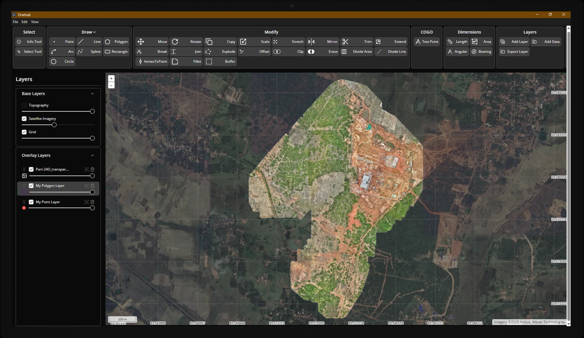
Live Tracking
Track your field teams in real-time on an interactive map. Monitor position accuracy, battery status, and collection progress from anywhere.
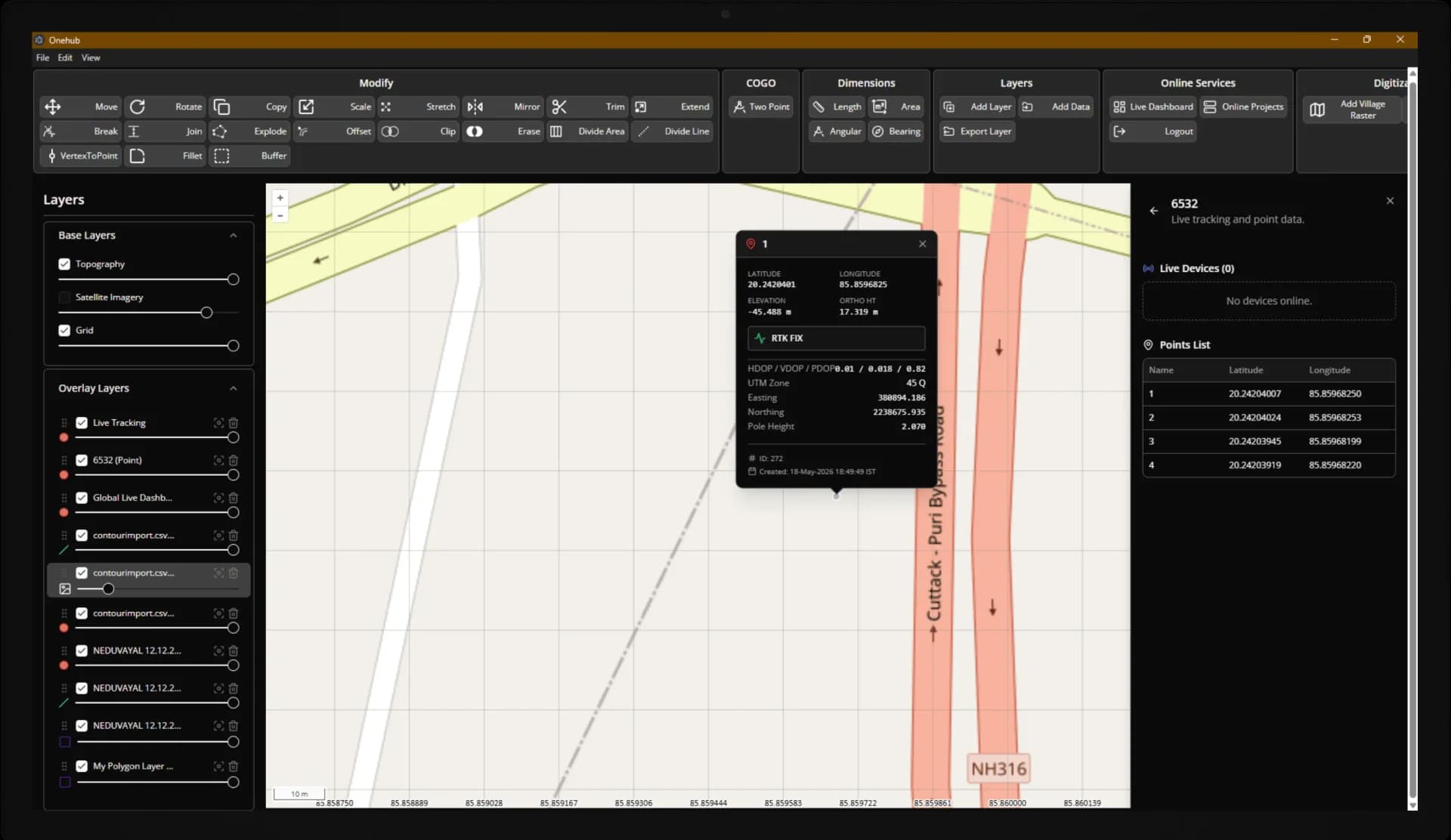
Import & Export
Import CSV, DXF, KML, and Shapefile data directly into your projects. Export processed data in the same formats for use in CAD and GIS software.
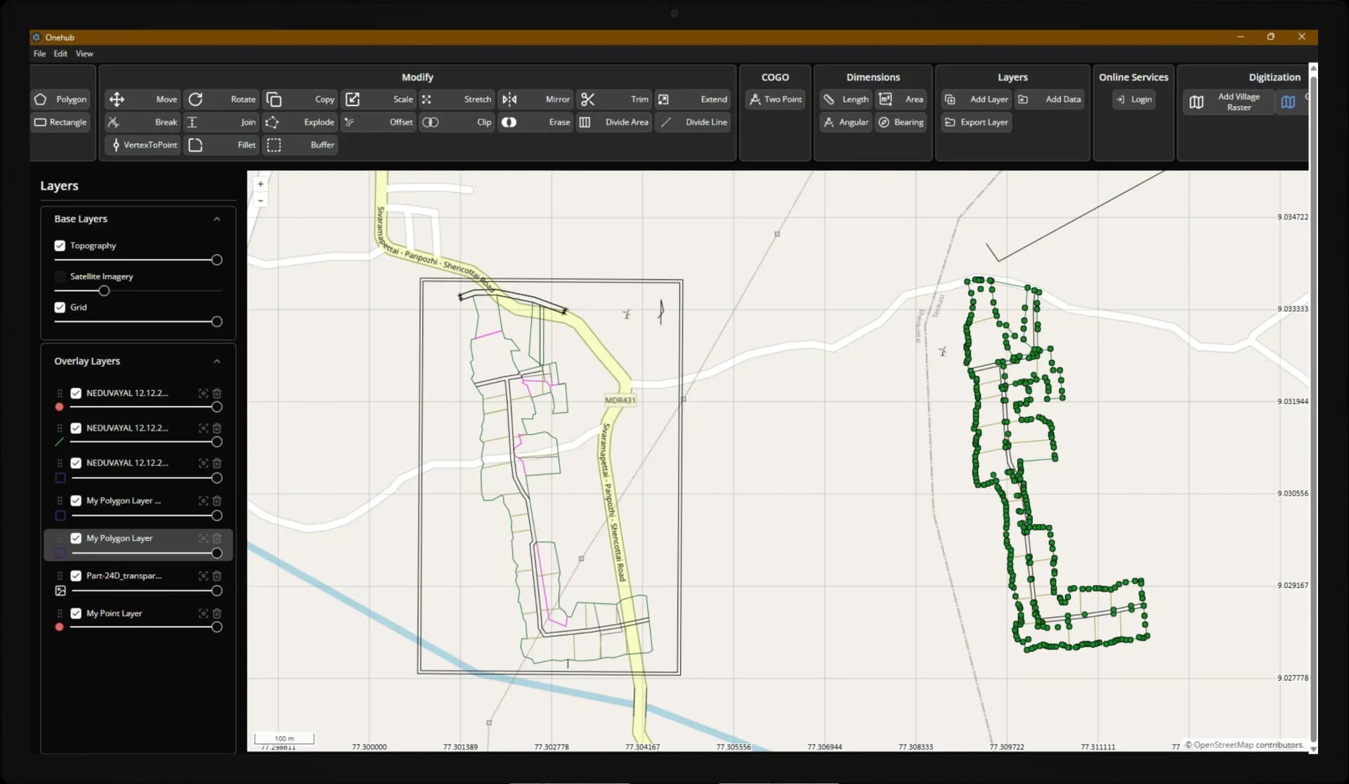
Surface & Contour Analysis
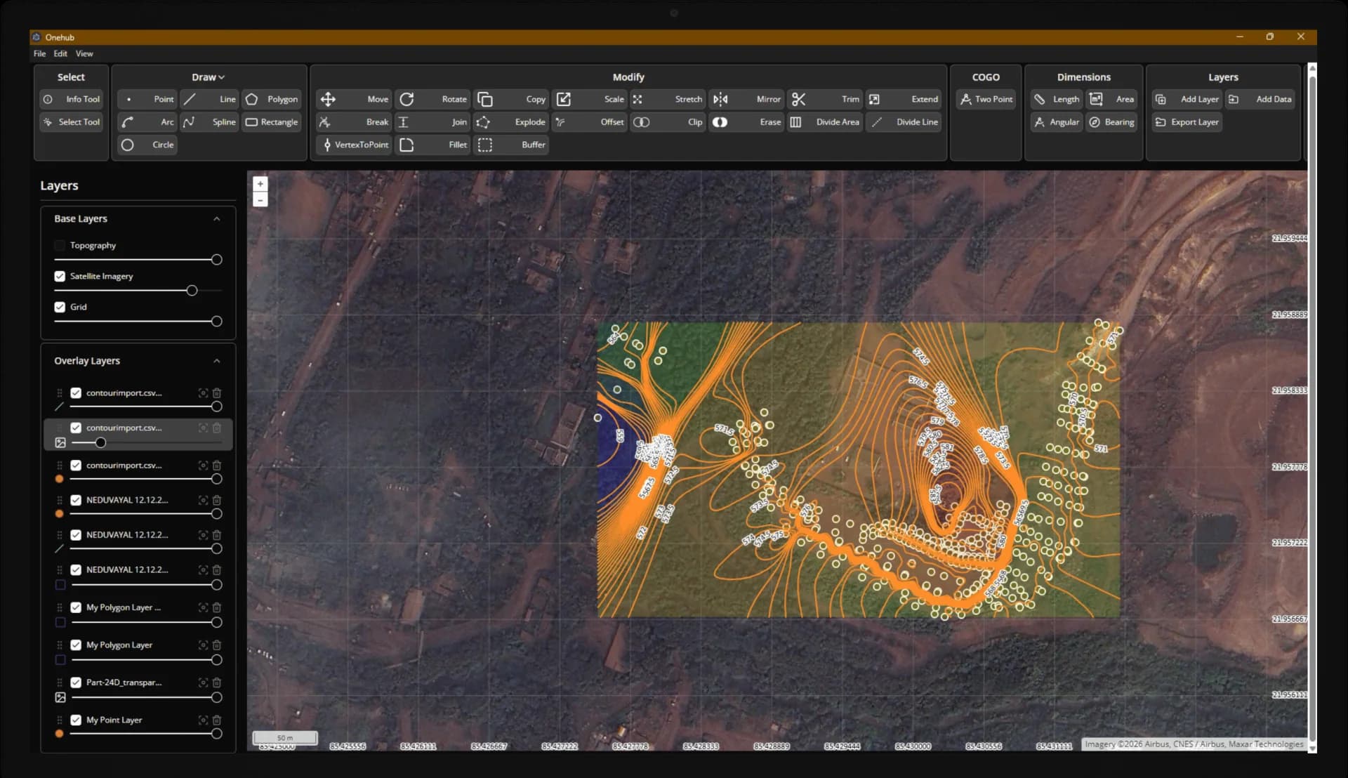
Generate surface models and contour maps from your survey data. Visualize terrain, calculate volumes, and identify elevation patterns.
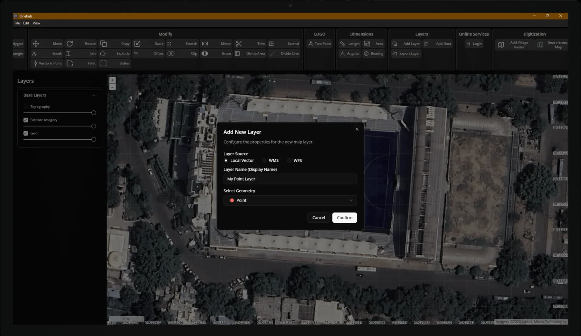
Distance, Area & Digitization
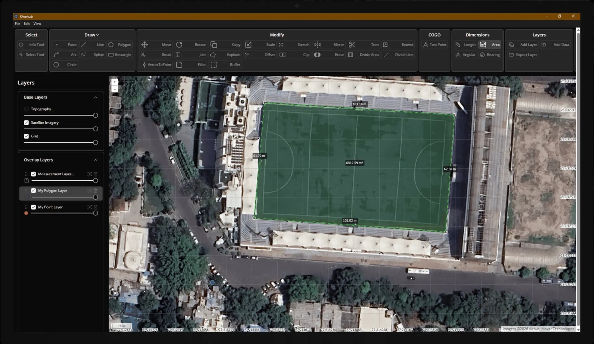
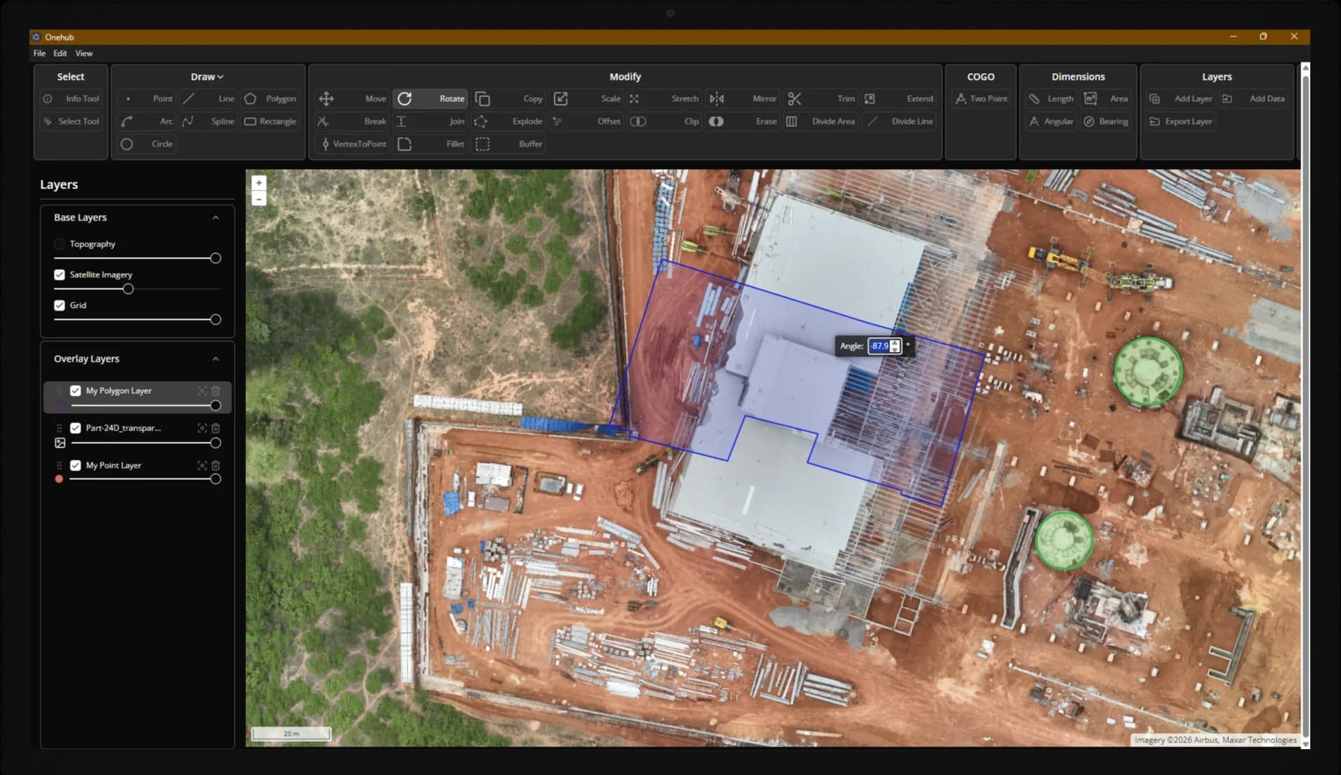
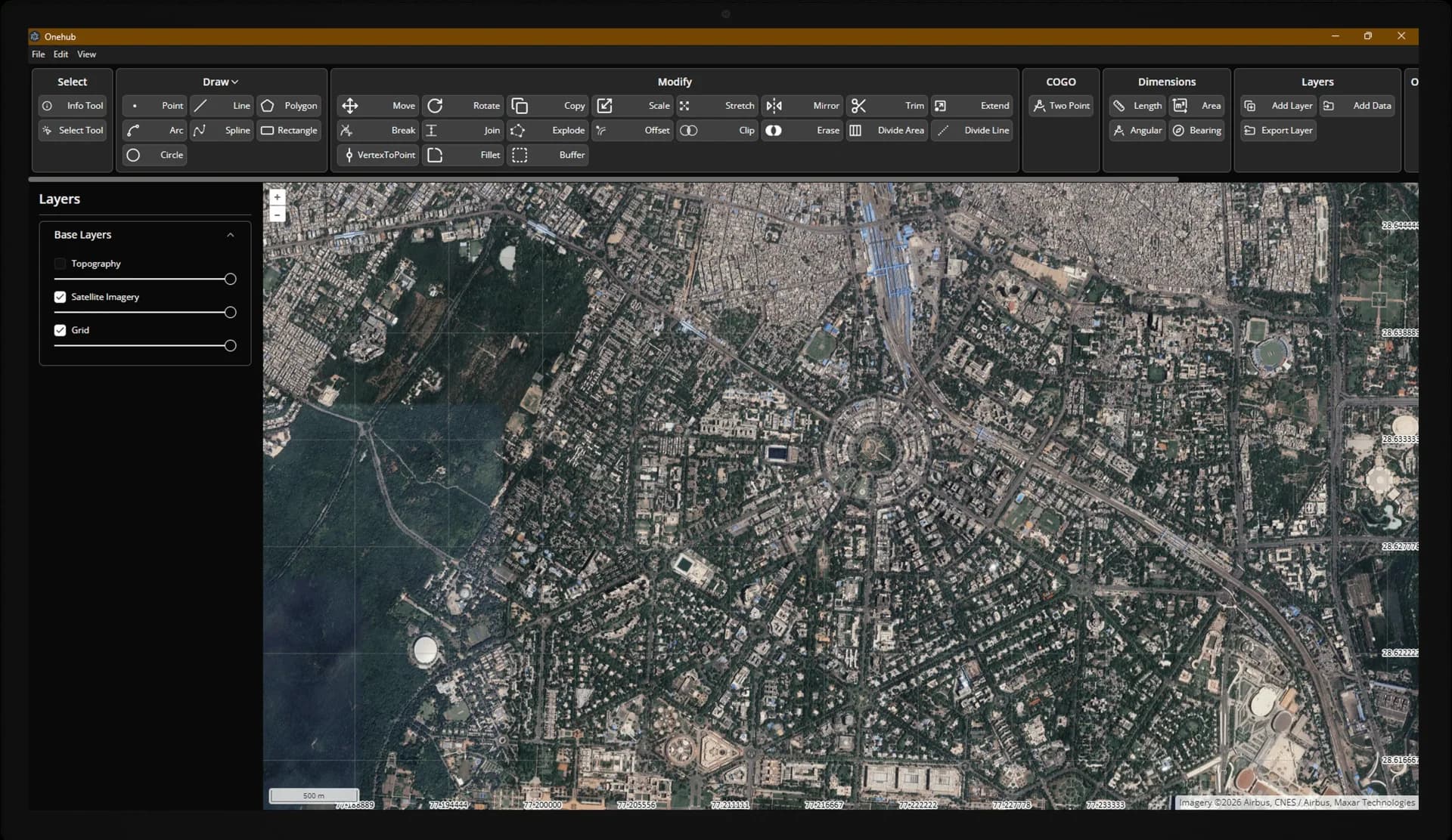
Measure distances and areas directly on the map. Draw points, lines, and polygons with precision tools and organize features into layers.
WMS Layers
Add Web Map Service layers from external servers. Overlay satellite imagery, cadastral boundaries, and other geospatial data on your projects.
Start the conversation
Tell us about your project, our precision specialists will respond within one business day.